The Zone of Impact: A GIS Comparative Analysis of Heightened Cancer Rates in the Communities Surrounding the Santa Susana Field Laboratory
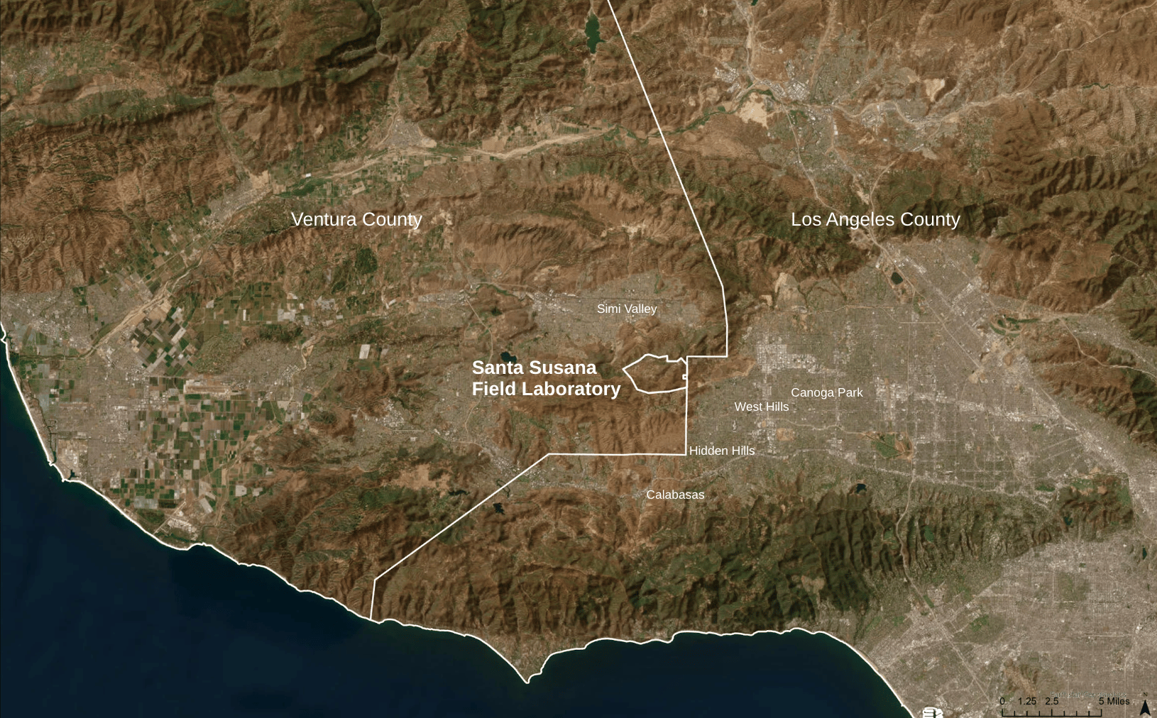
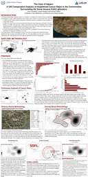
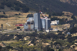
Located on the border of Los Angeles’ San Fernando Valley and Ventura County, the Santa Susana Field Laboratory (SSFL) is the site of the largest uncontained nuclear meltdown in United States history (1959). This study examines the spatial extent of the zone of impact where cancer rates and densities are higher than local and national averages. Utilizing geographic information systems (GIS) to analyze community-collected cancer data and the results of the study’s survey, the research examines 688 total cancer diagnoses, comparing distance-based and density-based methodologies. Resulting in two distinct zones of impact, the distance-based uniform buffer offers strong applications for consistent annual tracking, while the density-based approach proves strong to track impacts of significant environmental disasters. The delineated zone of impact is further analyzed within the context of the 2018 Woolsey Fire that ignited at the SSFL site, the Bell Creek which flows from the SSFL site to the Los Angeles River, and Canoga Park’s historic Home Owner’s Loan Corporation (HOLC) redlining boundary as studies have shown that marginalized communities are disproportionately impacted by increased cancer rates. The density-based boundary method provides a new way for researching the public health impacts of toxic waste sites without mandating residential adjacency and offers insight into discontinuous impacts, while the greater study contributes to the limited knowledge on geographic interactions between the SSFL meltdown and its community’s cancer rates.
Key Words: Santa Susana Field Lab Laboratory, toxic waste sites, geographic information systems, environmental racism, cancer
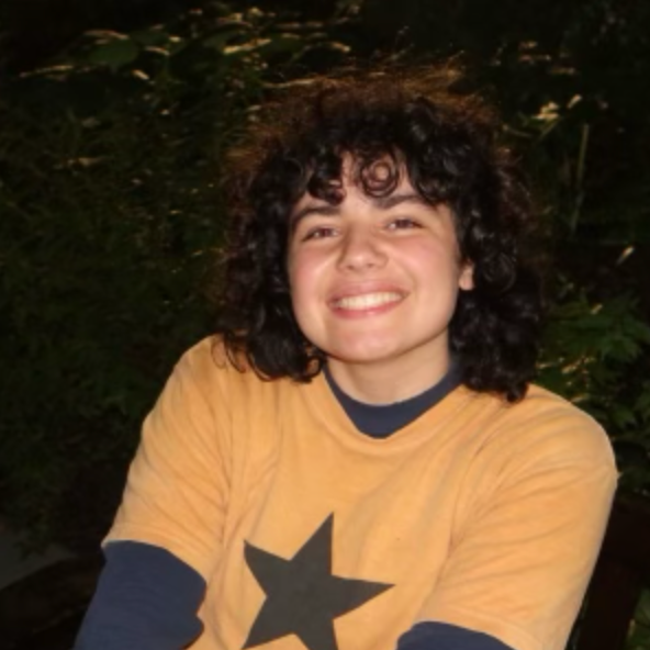
Hi! My name is Evin Schwartz and I am a second year student at Barnard College of Columbia University studying Urban Studies with a specialization in Urban Spatial Data Analysis and a combined major in Human Rights and a minor in Environmental Science. For my Laidlaw research project, I am using GIS to study childhood cancer clustering in the communities surrounding the Santa Susana Field Lab, a Superfund site I grew up on in Los Angeles.
I am Lilly E. Reiser and Diller Tikkun Olam Scholar and passionate about grassroots activism and educational equity. I am also the founder of IUY (I Understand You), a queer non-profit that helps over 10,000 queer youth annually. I would love to chat more!